Esri is the current global market leader in GIS software, location intelligence and mapping. They have supported geographic sciences and geospatial analytics since 1969.
What is GIS?
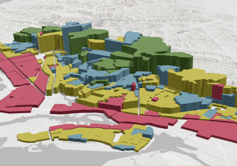
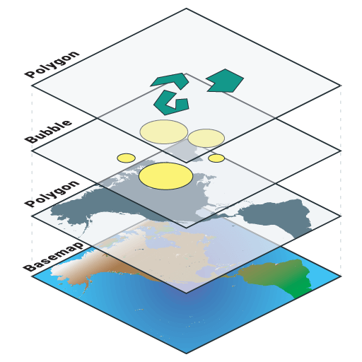
GIS or Geographic information system is a spatial system that creates, manages, analyzes, and maps all types of data.
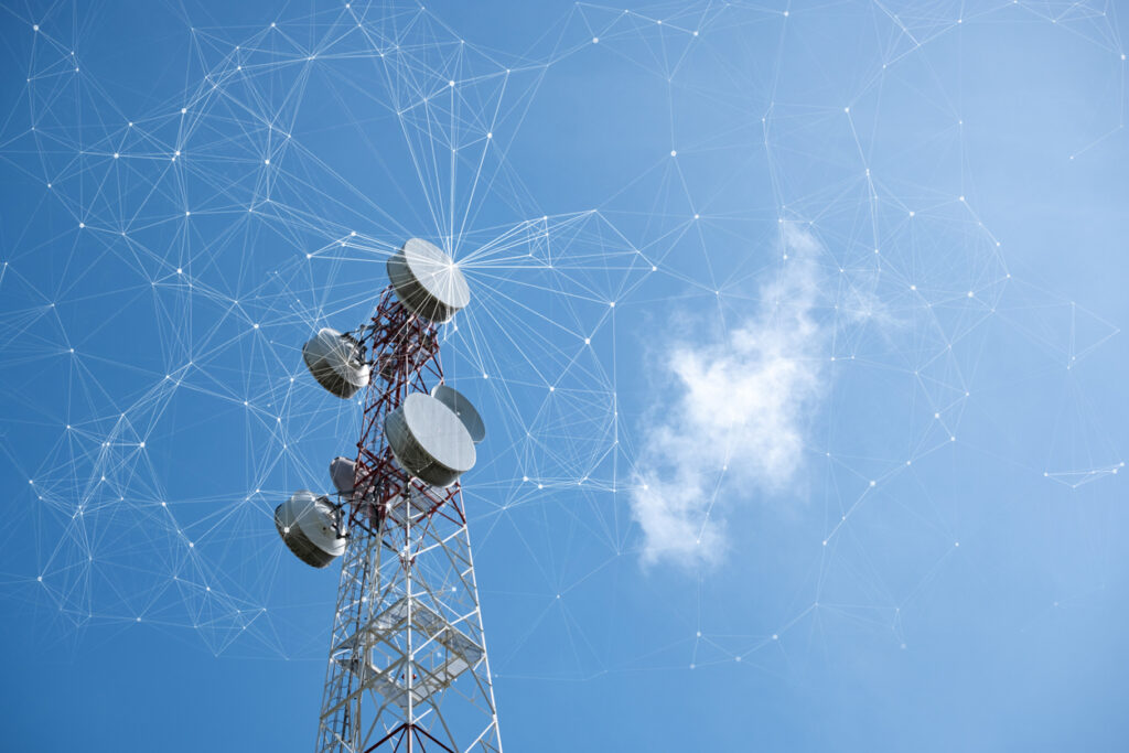
We are able to digitally transform telecommunications through location intelligence. GIS enables us to give service providers an advantage by using geospatial infrastructure powered by cloud-based technology.
Electric
Adding GIS into your electric utility network provides services such as; grid modernization, emergency management, business intelligence, digital twin, field operations and network management.
Water
Having the ability to access clean and reliable water is critical to life. Using GIS and the ESRI utility network, you can have the ability to manage the complete water cycle and increase efficiency with your water utility network.